Overview of the region
Nagapattinam is one of the oldest port cities of the Chola empire and was called Naval Pattinam, the city of ships. This town was under Portuguese, Dutch and the British rule during colonial times. It lies on the eastern seaboard of India, 350 kilometers south of Chennai, in Latitude 10.7906 degrees North and Longitude 79.8428 degrees East.
With a 187 km coastline, this coastal district covers an area of 2716 sq km. Fisheries play a dominant role in the economy of the district. It supports the third largest population of fisherfolk in Tamil Nadu spread across 48 fishing hamlets.
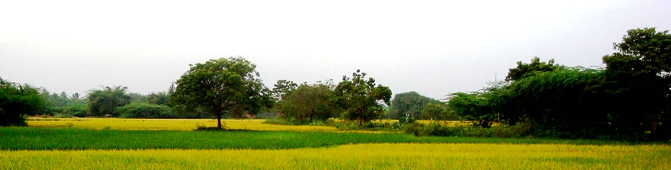
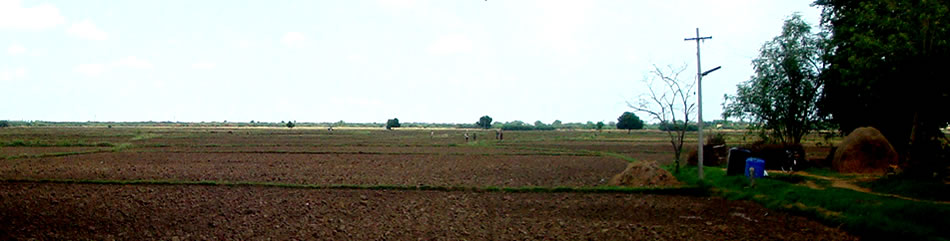
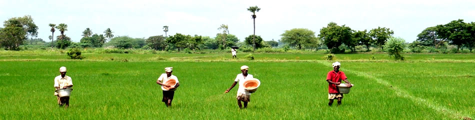
Agriculture is the main source of livelihood with more than 65% of its population depending either directly or indirectly on agriculture. Rice takes a big share of the area under cultivation, followed by black gram, green gram, sugarcane and groundnuts.
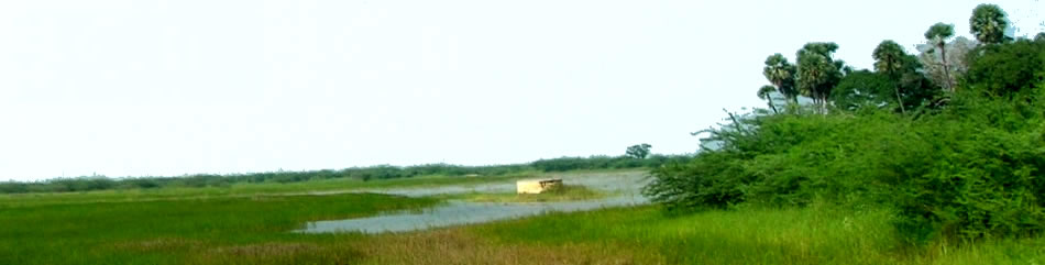
14 out of 17 river systems in Tamil Nadu flow through the plains of Nagpattinam and drain into the Bay of Bengal. Nagapattinam receives 60% of its rainfall during the north east monsoon and 40% during the south west monsoon. The Vedaranyam salt swamp, 48 km south of Nagapattinam town, is a large swamp running 7- 8 km wide, and one of the richest regions of biodiversity in the country.
Recent Blog
- Hats off to the government’s servants
- Thane Cyclone: An Indication For Re-visioning Disaster Management
- Tsunami lessons for Tohoku from Tamil Nadu
- TRINet Newsletter February 2012
- Cyclone Thane -- Disaster Preparedness and Response
- TRINet Newsletter January 2012
- Impact of ICT on Climate Change and Agriculture in India
- TRINet Newsletter July 2011
- TRINet Newsletter May 2011
- The End of Days for Endosulfan


© 2010, BEDROC